 |
|
| Home | Events | Trail Maps | Rides | Contact | Signup | Links | |
|
Thursday March 18: Hound Hop (sort of), Annadel State Park, Santa Rosa, CA This place is amazing - 36+ miles of very well marked trails. You really need the trail map to know where you're going, you can download trail map here and there are more maps here. Route yielded 24 miles total (download trail map first): Channel -> W. Richardson -> Two Quarry -> Marsh -> Lawndale -> Schultz -> Pig Flat -> Marsh -> S. Burma -> Louis -> N. Burma -> Live Oak -> Rough Go -> Spring Creek -> Rough Go -> Cobblestone. View the vertical profile from my GPS. You can also check out the Garmin Connect page with all kinds of mapping and GPS data analysis from the ride. Check out some photos from the ride: |
|
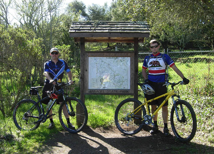 The obligatory "before" shot. (L-R: Cris, Kevin) 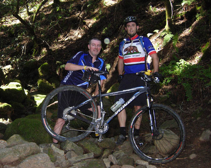 Alot of the trails are very shaded, some even dark 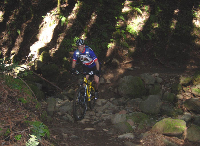 Neat little switch-back and drainage crossing (dry now) 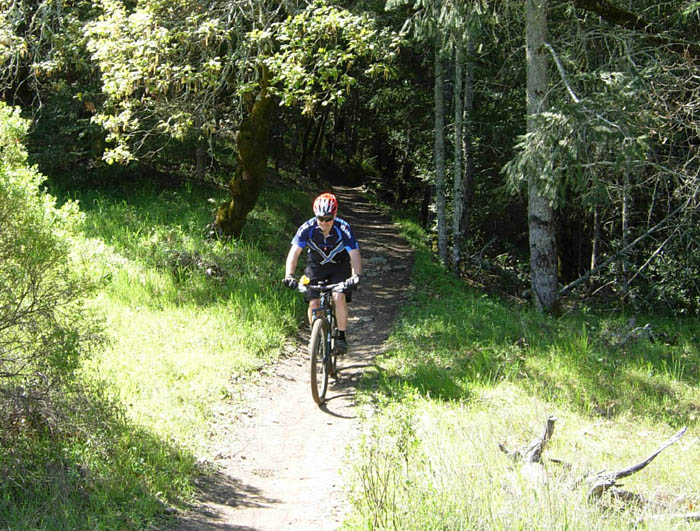 Emerging at the top of Lawndale, immediately following a long beautiful run of very shaded single-track 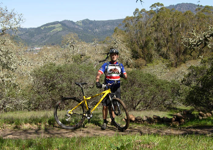 View from up high 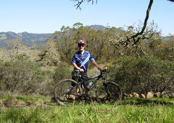 More view 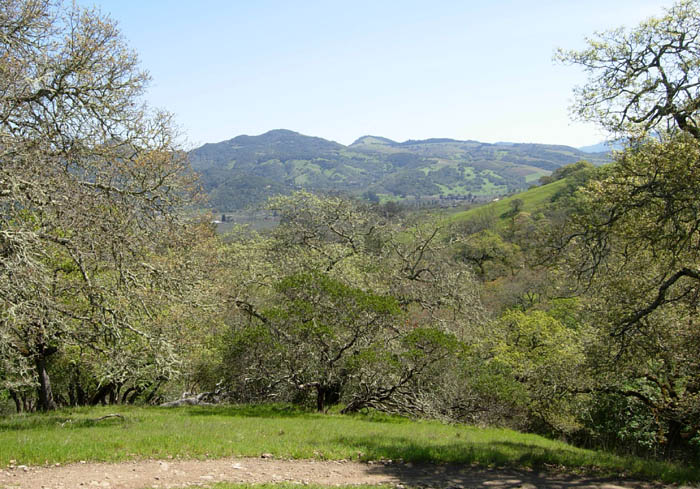 More view 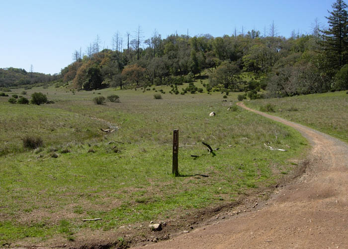 Intersection of Two Quarry and Marsh. There are restrooms and a picnic table here. 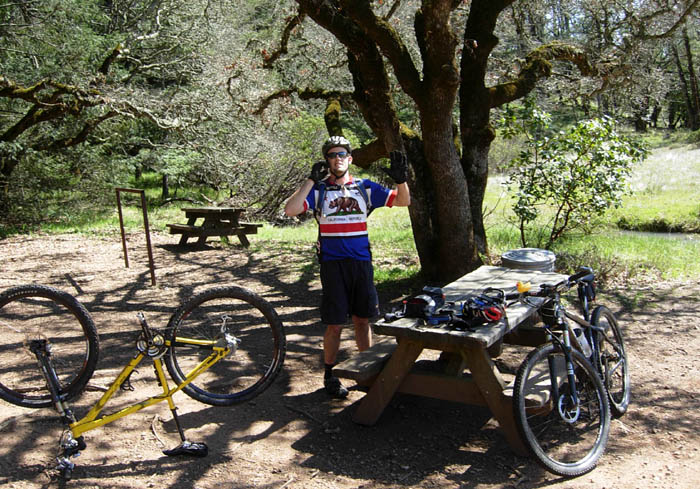 Good place to stop and rest 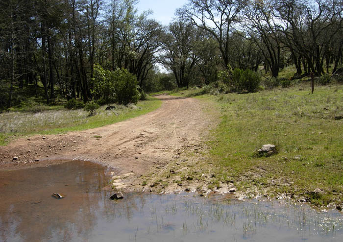 One of the many creek crossings. This is looking south down Marsh, on the way to Lawndale 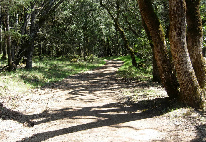 Looking back up (north) Two Quarry from the intersection 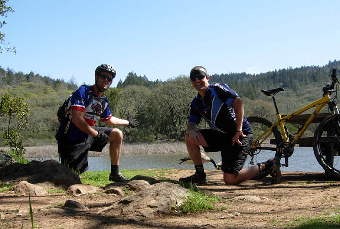 Lake Ilsanjo, and killer geese 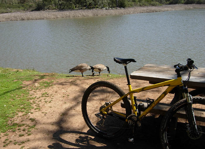 The geese didn't seem real worried 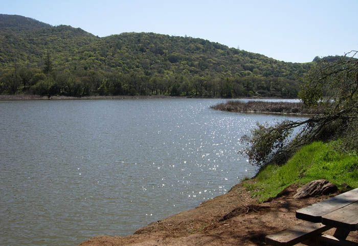 Lake Ilsanjo 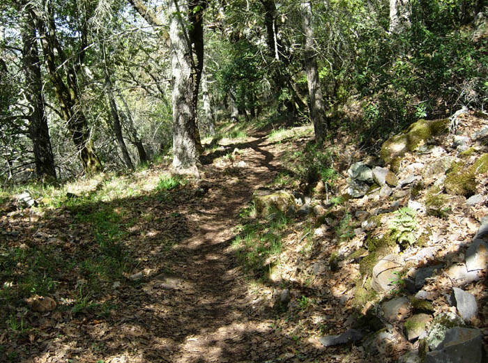 I think this is Live Oak. I started getting pretty tired by this point, and stopped taking pictures... |
|
| Updated: 3/22/2009 09:10 PDT | |